
Stanage Edge
Grid Reference: SK 25094 83017
Flush Bracket Number: S2156
Type: Pillar
Built: 16th July 1938
Historic Use: Secondary
Current Use: None
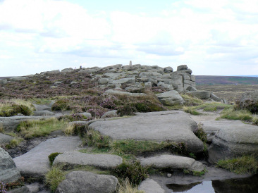
Stanage Edge's trig on the approach to Cowper Stone.
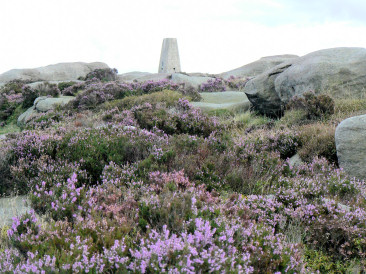
Stanage Edge's trig point stands clear of the heather.
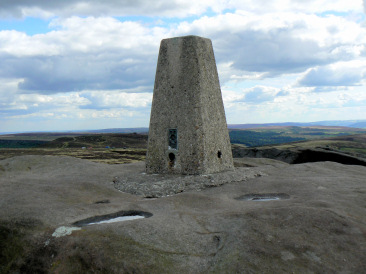
Stanage Edge's trig point.
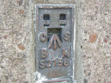
Stanage Edge's Flush Bracket.
Fairholmes - Hollin Clough - Green Sitches - Bradfield Gate Head - Derwent Edge - Moscar - Stanage End - High Neb (TP) - Stanage Edge - Cowper Stone (TP) - Burbage Edge - Longshaw - Haywood - Froggatt Edge - Curbar Edge - Baslow Edge - Jack Flat - Birchen Edge - Robin Hood Inn
Upper Burbage Bridge - Cowper Stones (TP) - Stanage Edge - Stanedge Pole - White Stones - Brown Edge Farm - Ox Stones (TP) - Houndkirk Road - Burbage Rocks - Upper Burbage Bridge
Hollin Bank car park - Stanage Edge - Stanedge Pole - White Stones - Ox Stones (TP) - Houndkirk Road - Burbage Rocks - Cowper Stones (TP) - Stanage Edge - Stanage Plantation
Upper Burbage Bridge - Burbage Rocks - Houndkirk Road - Ox Stones (TP) - White Stones - Stanedge Pole - Cowper Stone (TP) - Upper Burbage Bridge - Park Brow
Hathersage - Higger Tor - Upper Burbage Bridge - Cowper Stone (TP) - White Path Moss - Hathersage
All pictures copyright © Peak Walker 2006-2024